We are able and eager to support our users across the spectrum. Joining this course is a great way for you to explore this opportunity to do more with SAR and we’d be happy to have you!
Read More
Articles written by InSAR experts and enthusiasts on satellite monitoring, the technology and personal stories. Making space accessible, for all of us.
We are able and eager to support our users across the spectrum. Joining this course is a great way for you to explore this opportunity to do more with SAR and we’d be happy to have you!
Read MoreGrit is the superpower of passion and perseverance. Each member of our team, our partners, and community has something unique, something special that has enabled them to succeed with InSAR. We are voraciously pursuing different angles, and disciplines to simplify and improve the accessibility of data for you and all of our community.
Read MoreIntegrate InSAR Data to Any Application - Our deformation data streaming PS-InSAR API with automated polling application.
Read MoreIf you’re a frequent visitor of our blog, you would know how much we love to write about radar monitoring. This time, however, we’re going to talk about another means of Earth Observation that you might’ve been curious about - Optical remote sensing, and whether or not it should be used for deformation monitoring.
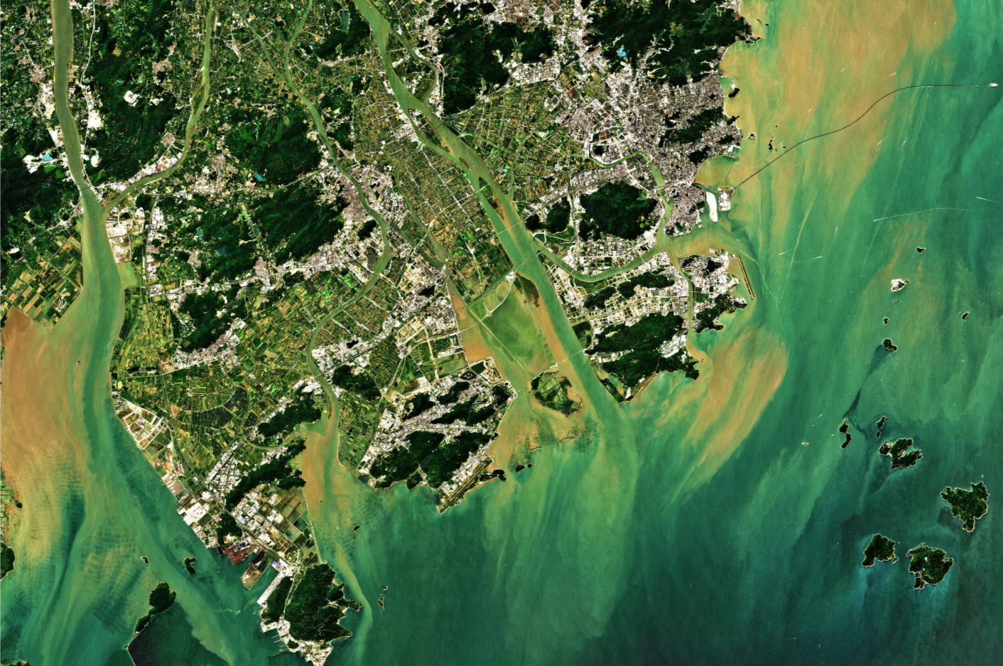
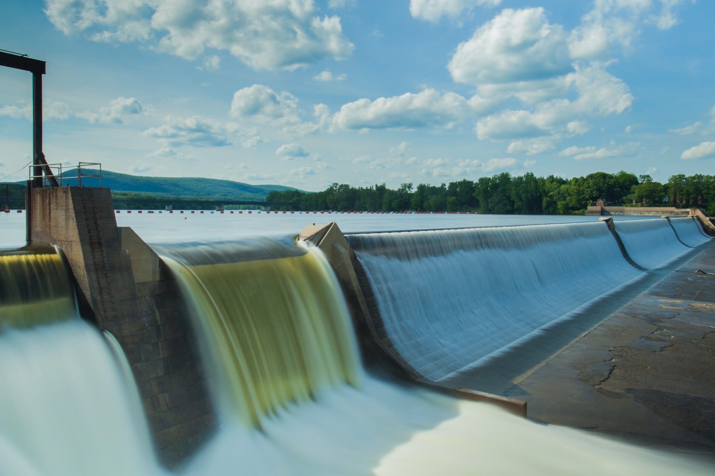
Read MoreAllen Cadden PE, Principal Schnabel Engineering is a guest author on the value of InSAR in dam monitoring.
Read MoreSchnabel Engineering geo-technical monitoring of Yeager Airport, construction of which was the second largest earth moving project in the world. Use of InSAR together with ground and structural sensors and engineering insight.
Read More”Your clients, whether they are end-users, or multi-disciplinary firms, can benefit from services you can offer using INSAR or other satellite-based data applications. After all, applications that analyze the movement of land, water and structures is very much a role for surveyors.”
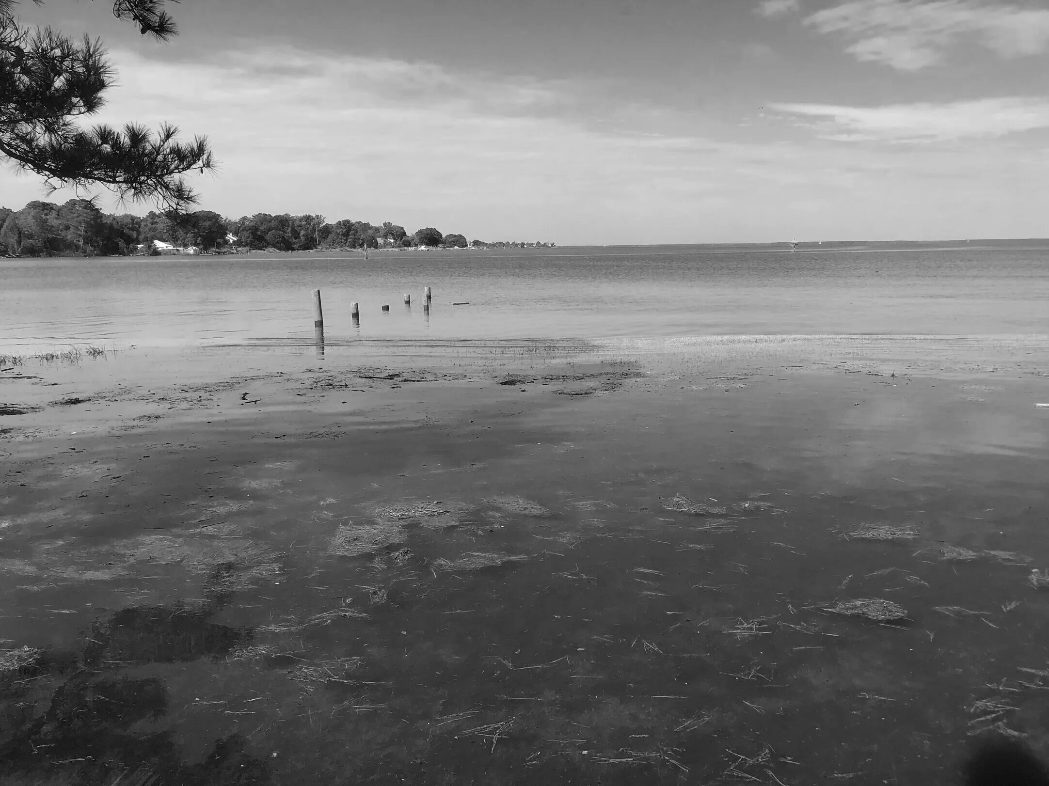
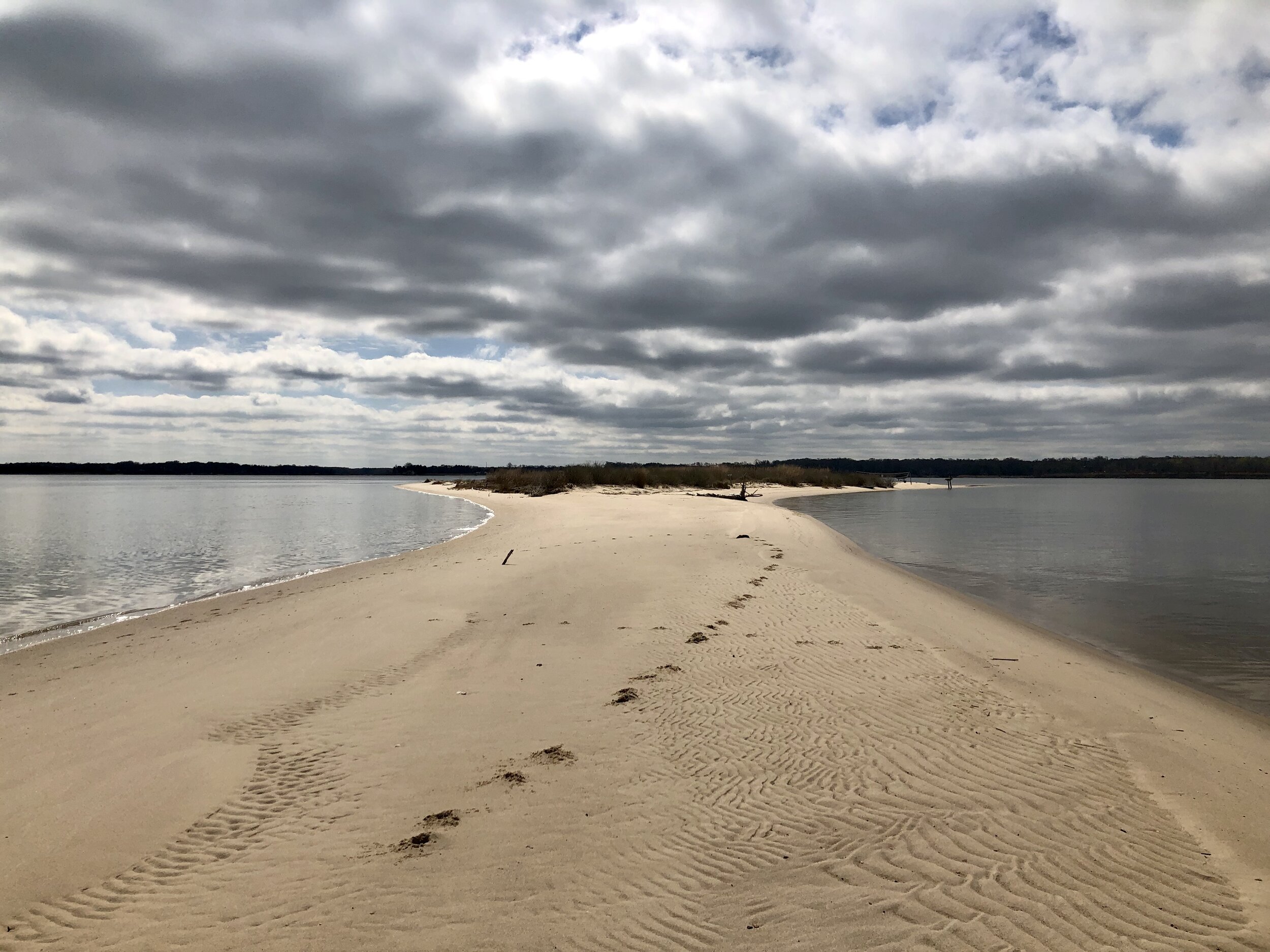
Read MoreThe second part of a series focusing on the Chesapeake Bay as a current benefactor to use InSAR as an additional tool monitoring sea-level rise and land deformation. This, for a change, will not be technical but rather a collection of real stories that show why this technique is important.
Read MoreImagine being able to see deformation data in 3D - to "travel" to a place and see everything in real life around you instead of looking at deformation dots on a map and stats on a computer screen, while trying to figure out how that applies in the real world.
Read MoreThe first part of a series that will be focusing on the Chesapeake Bay as a current benefactor to use InSAR as an additional tool. This, for a change, will not be technical but rather a collection of real stories that show why this technique is important.
Read MoreOur Corona Virus response: Love - InSAR can protect critical health infrastructure, and we are innovating to provide data at lower costs and in newer ways than ever before. None of that will matter if we aren’t good to the communities we live in and Ovela lives that mission every day. We’ve started Meal Bridge Estonia bringing meals to health care workers and we’ve supported our clients in tough times when they can’t reach a site, we reach it for them!
Read More