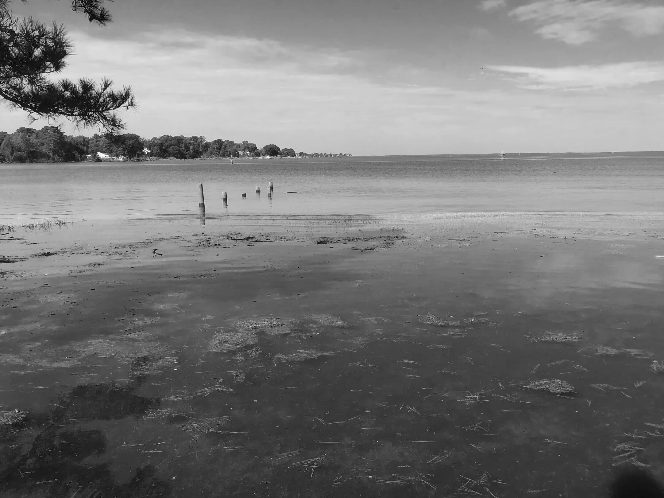
The second part of a series focusing on the Chesapeake Bay as a current benefactor to use InSAR as an additional tool monitoring sea-level rise and land deformation. This, for a change, will not be technical but rather a collection of real stories that show why this technique is important.
Read More
