Satellite InSAR for deformation monitoring in landslides, structures, and surfaces is no new tool. This is a proven technique that should be part of your daily use as a geotechnical, civil structural, and hydrological professional among others working in understanding deformation.
Read MoreFrom the stacked satellite images, we can spot infrastructure or land movement with millimeter accuracy and predict the effects it can bring about. In some cases, a single drastic movement can lead to a catastrophe.
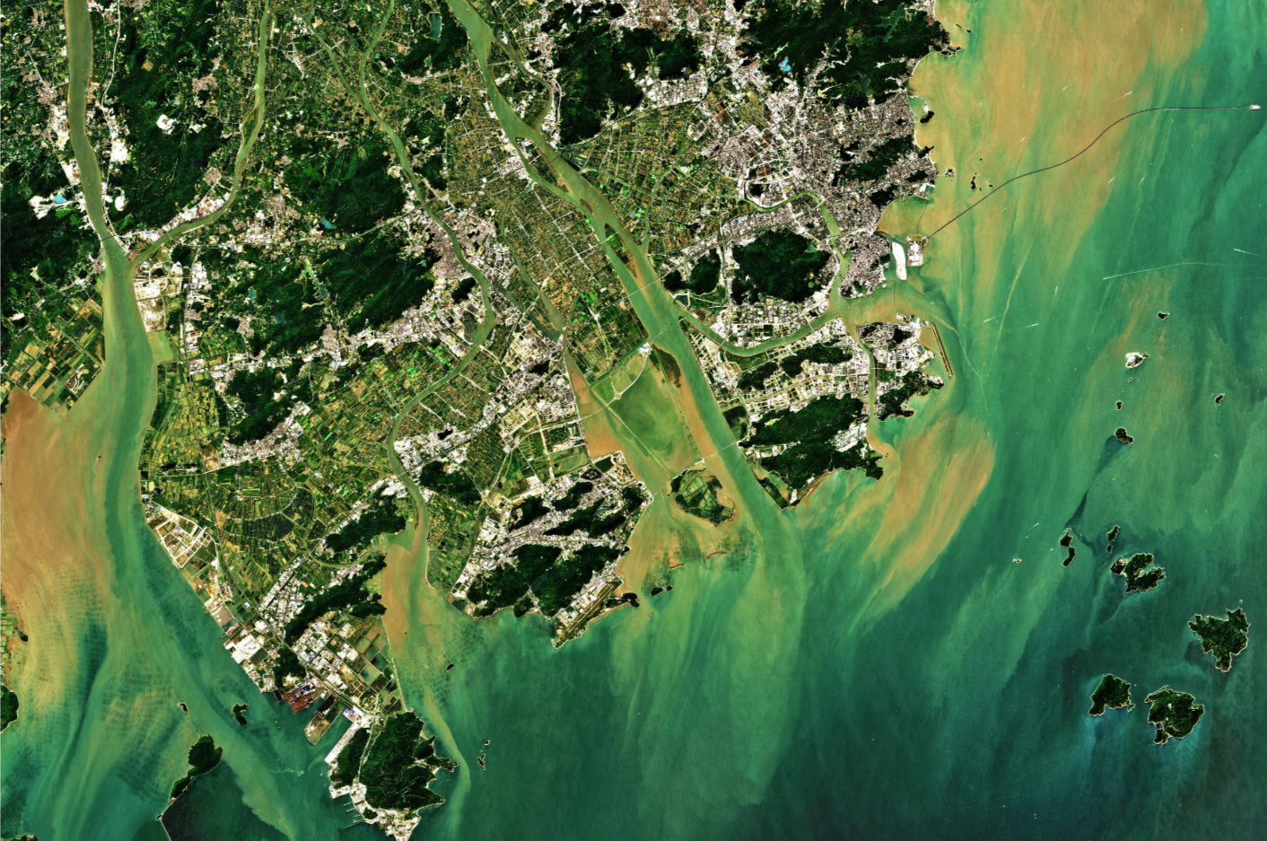
If you’re a frequent visitor of our blog, you would know how much we love to write about radar monitoring. This time, however, we’re going to talk about another means of Earth Observation that you might’ve been curious about - Optical remote sensing, and whether or not it should be used for deformation monitoring.
Read More

