
From Orbit to Operations: How Satellite Radar Is Redefining Emergency Planning & Resilience
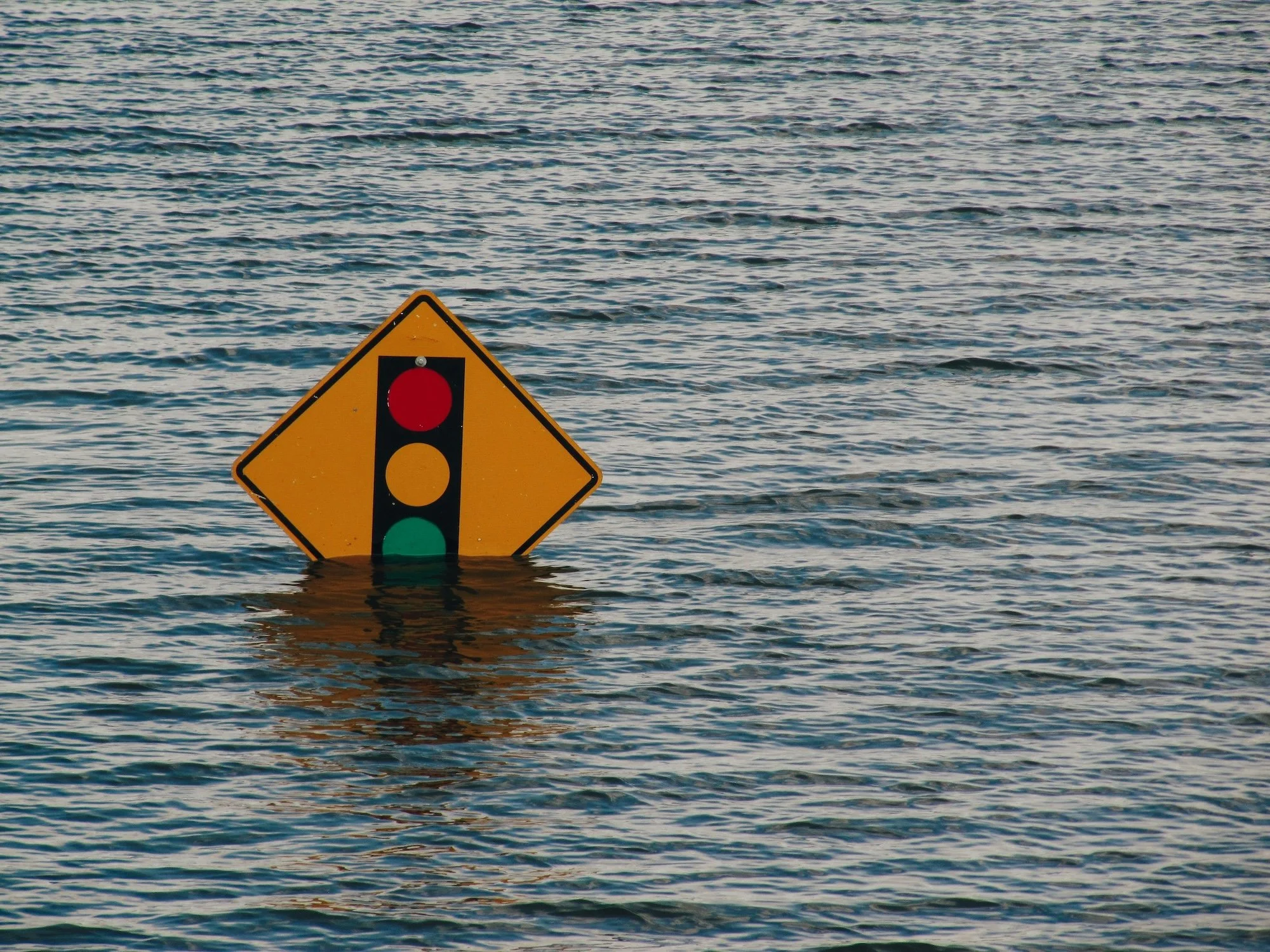
Disasters don’t wait for daylight. They don’t pause for clear skies or perfect visibility. They unfold beneath forests, within concrete, under rising water, and across aging infrastructure – often long before the damage is visible on the surface.
For decades, emergency managers have been forced to invest, prepare and respond with incomplete information—often making high-stakes decisions under intense pressure. But in recent years, an unexpected ally has been quietly circling overhead.
Synthetic Aperture Radar (SAR) satellites—unaffected by clouds, smoke, or darkness—have been capturing the subtle movements of the Earth millimeter by millimeter, day by day, week after week, for decades. When processed using multi temporal interferometry (InSAR), and it’s related tools, reveals patterns of risk that may emerge well in advance of visible failure.
What once lived in academic journals and intelligence programs is now an operational tool for emergency managers. And EO59 has been at the forefront of translating this capability into real-world decision-making at scale and pace with today’s risks.
Early warning is not a guarantee of prevention. It is an opportunity — and opportunities can be missed.
This is the story of how satellite radar is reshaping emergency planning – and why the moment to adopt is now.
An Inflection Point for Emergency Management
The emergency management profession in the United States is at a crossroads.
Disaster declarations are rising, billion‑dollar weather events are stacking, and infrastructure built decades ago is facing stresses it was never designed to handle. In 2024 alone, the United States experienced 90 major Presidential disaster declarations—nearly double the 30‑year average—averaging one every four days. That same year saw 27 weather‑related billion‑dollar disasters, driven largely by flooding, tropical cyclones, and severe storms.
At the same time, the policy landscape is shifting. National discussions and recent executive actions are reassessing the federal government’s role in emergency management, potentially redistributing responsibility away from the Federal Emergency Management Agency FEMA and toward State, local, tribal, and territorial agencies already strapped for resources.
The result is a perfect storm: more disasters, more responsibility, and fewer resources.
America’s infrastructure reflects this strain. The American Society of Civil Engineers assigns it a “C” grade, citing widespread vulnerabilities across communications, healthcare, energy, water, wastewater, and transportation systems. As disaster frequency increases, small weaknesses can quickly cascade into catastrophic failures.
Emergency and resilience planning must evolve to meet this new reality—one where visibility, foresight, and data‑driven prioritization are the standard, not the option.
A Perfect Storm of Risk – and Opportunity
Since 1980, the United States has experienced over 400 weather and climate disasters costing more than $1 billion each, with total damages exceeding $2.9 trillion. According to NOAA, this accelerating trend is driven by a dangerous combination of increased exposure, growing infrastructure vulnerability, and changing weather patterns that intensify extremes.
In response, resilience has become a national priority. Studies show that every dollar invested in resilience and preparedness yields an average 13:1 return, reducing post‑disaster losses and accelerating recovery. But capturing that return depends on one critical factor: using the best possible data to guide limited investment dollars.
ASCE’s 2025 Infrastructure Report Card outlines what is required to reverse current trends:
Reliable, frequently updated data on infrastructure condition and safety
Proven and emerging technologies that stretch constrained budgets
Innovation that accelerates assessment, repair, and recovery
As more responsibility shifts away from federal agencies, State and local emergency managers are being asked to defend resilience investments, prioritize mitigation projects, and buy down future risk—often without the historical support structures they once relied on.
This moment demands tools that are both powerful and practical.
Why SAR and Why Now
Satellite‑based Synthetic Aperture Radar offers a rare combination of scientific rigor, operational maturity, and cost‑effectiveness. And thanks to decades of public and private investment, SAR capabilities are no longer limited to theory. They are accessible today and can be deployed rapidly at scale with relatively low upfront costs.
Unlike legacy optical imagery systems, SAR sees through clouds, smoke, and darkness. When processed with automated InSAR techniques, these capabilities give operators and decision-makers critical insights on how the Earth is moving—detecting ground deformation, structural settlement, slope instability, and subsurface behavior invisible to traditional tools.
Its greatest strength is persistence. Radar satellites revisit the same locations repeatedly, building time‑series records that distinguish normal seasonal motion from signals of emerging failure. This allows for the identification of patterns and trends and can support early identification of risk conditions associated with potential future failure.
This is game changing situational awareness that empowers operators to act before the situation becomes an emergency.
From Data to Decisions: SAR in Action
EO59’s deployments across the United States and Europe demonstrate how InSAR translates into operational value.
Hurricane Helene — Radar in the Eye of the Storm
During Hurricane Helene’s landfall in North Carolina, optical imagery was useless—debris, clouds, and floodwaters obscured everything. SAR, however, cut through the chaos, confirming the presence and structural integrity of a hydro dam. This supported responder decision making during the initial response.
Infrastructure Monitoring Across the U.S. and Europe
EO59 has collaborated with firms like Schnabel Engineering, Terracon, Jacobs, and AECOM, among others, to monitor assets ranging from hydroelectric facilities to stealth aircraft installations. In every case, radar revealed hidden movements—signals that helped engineers and emergency planners evaluate and mitigate risk with unprecedented speed and precision.
Puerto Rico — Lessons in Preparedness and Missed Potential
After Hurricane Maria, vast amounts of SAR data existed but were not exploited quickly enough. Rapid damage assessment tools came later, but deeper insights—like subtle infrastructure deformation—remained unprocessed, and do so to this day. It was a sobering demonstration of the operational gap between what this technology can do and what systems are prepared to use.
This was not a failure of technology or data availability. It was a demonstration of the gap between capability and readiness. Without established workflows, trained personnel, and pre‑event integration, critical signals arrived too late to influence mitigation or response. Waiting until after an event to interpret complex data forfeits the very advantage early warning systems are designed to provide.
Operationalizing SAR: Where Emergency Planning Must Go Next

The technology exists today. The data is flowing. The challenge is integration.
When Insight Goes Unused
In recent years, satellite radar has repeatedly demonstrated its capability to serve as a risk and resilience early warning system – often weeks or months before visible damage occurs. One of the most overlooked risks in modern emergency and mitigation planning is not a lack of data. It is the failure to operationalize it.
Monitoring systems only create value when they are actively integrated into daily workflows, reviewed by trained staff, and trusted as part of decision-making processes. When insights remain unopened, unreviewed, or misunderstood, the opportunity to intervene early is lost – and preventable incidents can escalate into emergencies with real human and financial consequences.
This is not a technology problem. It is an adoption problem.
Access to advanced monitoring is not enough. Organizations must be trained to interpret the signals, required to review them, and structured to act on them. Treating deformation intelligence as background information — rather than as an operational decision‑support system — creates a dangerous gap between detection and response.
In recent high‑impact infrastructure failures across the industry, risk signals were present in available historical and persistent monitoring data — visible in persistent radar monitoring and historical deformation trends. In those cases, the technology performed as designed. The warning signs were present. What failed was the connection between insight and action.
This is the uncomfortable reality of modern resilience: data that is not reviewed, trusted, and integrated into daily workflows is functionally indistinguishable from data that does not exist.
Operationalizing satellite radar therefore requires more than access. It demands training, accountability, and cultural adoption — ensuring that insights are actively consumed, understood, and embedded into planning, response, and mitigation decisions.
Emergency managers, infrastructure operators, and resilience leaders should adopt SAR not as an exotic add‑on, but as a standard layer of preparedness and mitigation. That means building workflows that:
1. Start With Known Vulnerabilities
Analyze historical deformation in dams, bridges, hospitals, and energy assets to prioritize where attention is most needed.
2. Incorporate Radar Into Pre‑Disaster Plans
Use InSAR to refine evacuation routes, identify at‑risk corridors, and determine where staging resources will matter most.
3. Train Teams to Read the Signals
Access to data is not enough—staff must be trained, comfortable with data flows, and able to interpret deformation patterns, anomaly clusters, and radar signals confidently within their existing decision processes.
4. Build Relationships Before the Crisis
Contracts, data pipelines, and collaborative partnerships should be in place long before the next wildfire, hurricane, or earthquake.
5. Fuse Radar With Existing Dashboards
Integrating SAR into GIS and asset‑management systems creates a unified operational picture.
6. Accelerate Post‑Event Assessment
Radar can rapidly confirm structural damage, identify hidden failures, and support faster funding allocation.
7. Advocate for Policy Inclusion
Cutting edge tools like satellite radar derived deformation data should be prioritized in resilience funding, grant investment justifications, reporting standards, and emergency operations plans.
EO59’s InSAR‑as‑a‑service model is a pioneer in this space and built precisely for this—streamlined, accessible, and engineered for real‑world operations.
The Future: AI-Enhanced Radar and a World in Motion
As satellite constellations expand and AI capabilities mature, the next evolution of SAR is already underway: automated anomaly detection, prioritized alerting, faster data ingestion, and deeper sensor fusion. These advances will support more anticipatory and data‑informed planning, more precise, and more resilient.
Radar will not replace field expertise—it will empower it.
From Space to Lives Saved
As the U.S. emergency management landscape evolves, the need to equip leaders with effective, scalable tools has never been more urgent. Satellite InSAR is no longer a futuristic concept—it is a present‑day necessity for saving lives and safeguarding communities against today’s dynamic threats.
EO59’s work across the United States and Europe has shown what’s possible when spaceborne data meets operational decision‑making. The question is no longer whether this capability works—but whether we will be ready to use it when the next disaster strikes.
The satellites are overhead.
The data is here.
The future of emergency planning is already in motion.
This is your moment. One chance to turn hidden risks into actionable insight. Will you take the shot—or let critical signals slip by unnoticed?
EO59 stands ready to help to ensure your community is ready too, will you join the mission?


Chad M. Gorman is the President & CEO of Gravitas Strategies LLC, a consulting firm focused on building resilience through security, preparedness, and crisis response strategy solutions. Chad is a former senior official at the Federal Emergency Management Agency (FEMA), where he held multiple leadership roles including Acting Regional Administrator for FEMA Region 2 and Federal Coordinating Officer for major disaster responses. He led federal recovery efforts in New York, New Jersey, Puerto Rico, and the U.S. Virgin Islands, and directed FEMA’s National COVID-19 Vaccine Task Force. Chad also served in FEMA’s National Preparedness Directorate and worked throughout the Department of Homeland Security since its founding. He holds degrees from the University of Maryland, the Naval Postgraduate School, and Harvard University’s Kennedy School of Government.
Co-authored by:
Carl Pucci, Founder and CEO, EO59
Brooke Pucci, Content Project Manager, EO59