INTO THE SAR WORDS
Have you ever heard about SAR? Or what about DInSAR or A-DInSAR? Yes, all of those radar-related names sound cool, but once we understand what they mean, they will be more than just awesome science terms - they will give meaning to, and connect us to the RADAR world!
Microwaves?
So let’s take a step back and go through some of the terms we use on a daily-basis here at EO59. Let’s talk Radar, blue-whale sized antennas, microwaves, SAR, DInSAR and A-DInSAR!
A Radar, RAdio Detection and Ranging, is an active sensor capable of emitting electromagnetic waves (“Microwave”, just to be more precise) . Thanks to the reflection of these waves from some targets we are able to localize them. This detection can be done along the “range” but what happens if we have two targets on the same distance from the antenna? Due to some boring physical issues, the “Azimuth Resolution” is generally speaking pretty poor, depending of course on the distance between the antenna and target. However, there is a direct proportionality between the Azimuth Resolution and the dimension of the antenna. So, if we want to be very accurate in locating one object along the azimuth direction, we need a big, giant antenna…
Great, so the solution is to create blue whale-size antennas (…or even bigger…)! I mean pretty cool but can be pretty expensive and difficult to handle…
In 1954 Carl Wiley introduced to the world the Synthetic Aperture Radar, SAR. Wiley came up with a solution to the giant antenna problem using a moving sensor with a traditional antenna, generating during the post-processing a huge Synthetic Antenna with an increased Azimuth Resolution. This particular kind of RADAR can be installed on different terrestrial and aerial platforms, such as satellites!
And so here we are - satellites! Our nice flying friends are the protagonists of this epoch. They are used in a lot of different fields, Earth Observation is only one of them! Actually, we have many constellation of satellites acquiring SAR data.
Do you remember the “microwaves” I mentioned before? Well, using a sensor like SAR, working in this field of the Electromagnetic Spectrum, installed on a satellite, we are able to see through the clouds and without any problem related to the light condition. We can use this advantage to see the backscattering of an area in order to localize targets on the ground.
Also, if we consider a couple of SAR “images” we can perform a change detection based on the amplitude values. This particular type of analysis allow us to understand how an area has changed through time. For example, which area has been flooded after a severe weather event, and there are also specific applications for precision farming purposes!
Anyway, behind this kind of information, the SAR images hide even more precious information: the phase. If we take SAR data acquired before and after a ground deformation event (say, an earthquake), we can produce a kind of map of such deformation. This map is called an Interferogram.
This comparison between couple of SAR “images” in terms of phase is called Differential SAR Interferometry (DInSAR).
So now all those strange acronyms, RADAR, SAR, DInSAR, have at least a meaning but I have one last friend to introduce you before Christmas: the Advanced Differential SAR Interferometry, A-DInSAR. This technique is like a Santa’s bag, full of presents. Using A-DInSAR we can compare numerous SAR “images” (tens, or even hundreds) achieving information about the deformation in time of an area with a millimetre accuracy.
At EO59 we are using this new, but very well tested technology all around the world, monitoring deformation of highways, dams, airports, urban areas, and so on.
Now, after this super brief post clearing up some of the terms we use constantly, we hope you still consider the RADAR-based world super awesome and not too nerdy!
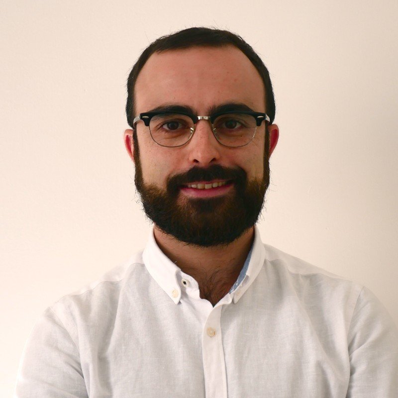
Luciano Rocca is an Associate Scientist in EO59. With a background in geology, Luciano is able to deliver accurate and actionable deformation data through the art of interferometry. He has gained international experience in the field of remote sensing and engineering geology from Colorado School of Mines and working for an international aid project at the Universidad Catolica Sedes Sapientiae in Lima, Peru.
When he is not behind his computer delivering data to our clients, he is out there hiking and climbing, playing with drones or mixing delicious drinks!


