Carl Pucci Publications and Presentations
Click on the thumbnails to learn more


SH130 tollroad benefits from data-rich InSAR measurement
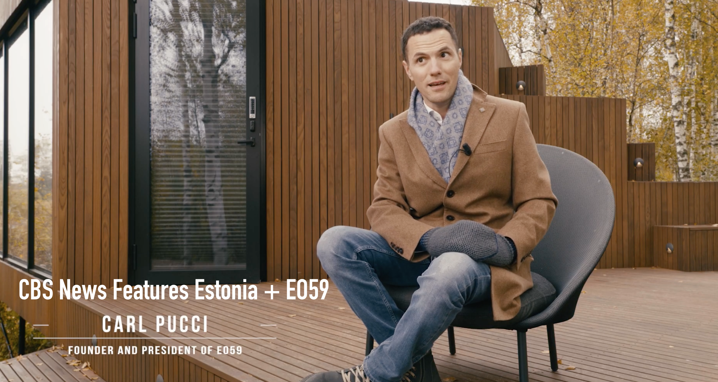
Honored to be featured alongside Estonian President Kersti Kaljulaid and Prime Minister Kaja Kallas, EO59 Founder Carl Pucci talks about growing an international business and changing the world from the small unique country that is Estonia.

In honor of World Space Week EO59 Founder Carl Pucci sat down with Lord Andrew Lansley to discuss the future of space and space data! Tune in to the podcast or Youtube video!

Carl Pucci for American Society of Civil Engineers GeoStrata magazine 2020 “A SAR is Born” The space race gave birth to a remote sensing technique known as synthetic aperture radar (SAR)

Carl Pucci for Junior Chamber International Estonia Podcast “Virtual Start up Conference - American Rollercoaster ” 2021

Carl Pucci for The Association of Ontario Land Surveyors magazine 2020 “007 Weapon for Surveyors” pg 18

Carl Pucci for NPR WXXI News on the collapse at Champlain Towers in Surfside, Florida: “"All buildings are in motion, the world around us is moving a tremendous amount, and more so every year as climate change is a reality,"

Carl Pucci for the Washington Post on the Champlain Towers Collapse in Surfside, Florida: “Coastal America is experiencing a slow motion crisis,”

Carl Pucci presenting a keynote speech at the opening of the Copernicus RoadShow in Tallinn, Estonia 2019

Carl Pucci editorial publication “A Tale of Two Friends” article about compassion. Originally published in Raplamaa Sõnumid April 2020. English version available on our website.

Carl Pucci and our team launching “Meal Bridge Estonia” in 2020 to support frontline workers and families during Covid pandemic

Carl Pucci at Latitude44 in 2019 on why Estonia is a good test bed for smart city solutions

Carl Pucci presenting InSAR work together with FEMA on Emergency Preparedness as part of The Opportunity Project 2019

Carl Pucci Presenting e-Gov Tech for Rural America From the White House

Carl Pucci working with Maryland National Guard to bring Children English language books to Estonia’s Hospitals

Carl Pucci Bio - Brief introduction